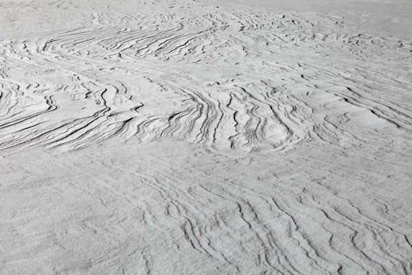
Poleward, 2018-21
Les multiples mouvements linéaires, les masses d'air, les phénomènes météorologiques et les champs magnétiques créent un ensemble de lignes visibles et invisibles.
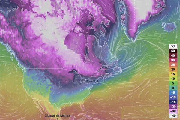
Ce projet est une sélection de photographies, dessins, graphiques, cartes géologiques et cartes de prévisions qui montrent l'influence de la météorologie sur les mouvements du pôle Nord magnétique, qui s'expliquent par le décalage causé de l'axe terrestre par le mouvement des masses d'air, hiver comme été, entre océans et continents.
Les différents déplacements de ces lignes nous interrogent sur l'influence directe et indirecte qu'elles ont sur les activités humaines et animales, l'environnement et notre rapport à la terre.
_______________________________________________
Lineair lines, Canada, 2018 - Photographie impression sur Hahnemühle, contrecollage 1,5mm, boîte américaine érable nature - Dimensions : 41,6x61,6cm - Collections du FRAC Alsace.
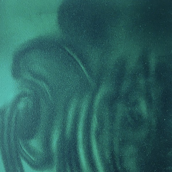
Constituer des cartes du monde et y naviguer, 2022, Iphone et papier détecteur de flux magnétiques. ' modèles différents.
Dimensions : 12 x 12 cm
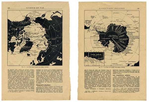
Le pôles Nord & Le pôle Sud(fig.2 & fig.3 - Maps Paul-Emile Victor) - Documents. Dimensions 42 x 30 cm
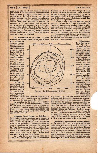
Le déplacement du pôle Nord(fig.41) - Document d'archive
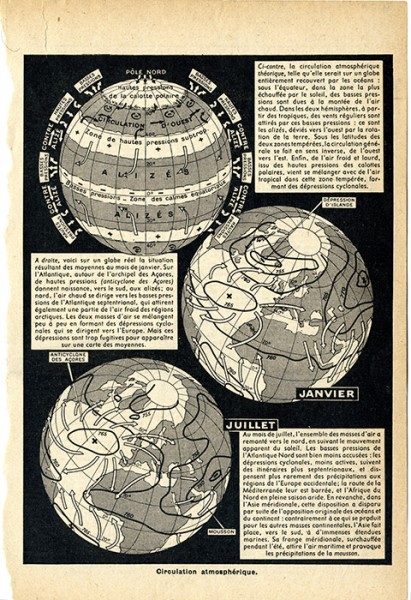
Circulation atmosphérique - Document d'archive
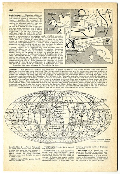
Courants - Document d'archive
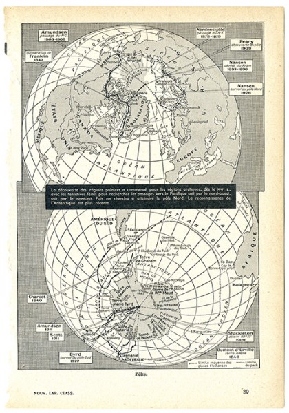
Pôles - Document d'archive
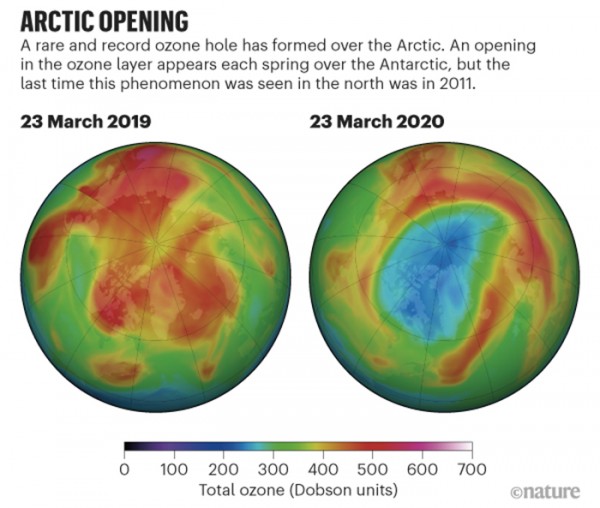
Arctic ozone hole
NASA OZONE WATCH © 2020 Springer Nature Limited - Document d'archive numérique
Forecast, Canada, 2018
Document d'archive numérique